-40%
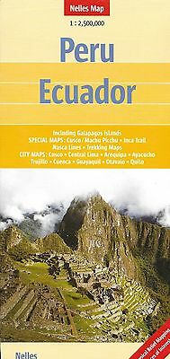
Map of Peru and Ecuador, by Nelles Map
$ 2.61
- Description
- Size Guide
Description
Map of Peru and Ecuador, by Nelles MapPeru and Ecuador at 1:2,500,000 from Nelles Verlag, with a smaller size sheet offering a convenient format for use when travelling. Included are several street plans of main cities, plus enlargements of popular areas of Peru. The map is double-sided, showing Ecuador with the northern and the Amazonian part of Peru on one side; on the reverse is central and southern Peru plus the adjoining parts of Bolivia with La Paz and Cordillera Real. Vivid relief shading, numerous spot heights and names of mountain ranges present the topography. National parks and other protected area are marked.
Road network distinguishes between highways in good and poor condition and includes partially paved roads and cart tracks, with distances shown on main routes. Railway lines and local airports are included, and the map also shows internal administrative boundaries with names of the provinces. Numerous places of interest are prominently marked. Latitude and longitude margin ticks are at 2° intervals. The map has no index of localities. Map legend includes English.
Street plans highlighting main places of interest, selected accommodation, etc, cover central areas of Quito (with an enlargement for the Old Town), Guayaquil, Cuenca and Otavalo in Ecuador. For Peru the map provides street plans of central Lima, Cusco, Arequipa, Ayacucho and Trujillo, enlargements showing the Cusco - Machu Picchu area, the Inca Trail, the Cashapampa - Llanganuco and the Olleros - Chavín treks in Cordillera Blanca, plus the Cordillera Huyahuash circuit. Also provided is a map of the Nasca Lines.
When unfolded, map measures approx. 30" x 20"
Note: Map is new, but shows minor shop wear on cover.
Map retails for $ 11.95, publication date: 2010, ISBN
978-3865742544
This map is out of print, and hard to find.
