-40%
Map of New Zealand, Laminated & Folded by Berndtson Maps
$ 2.61
- Description
- Size Guide
Description
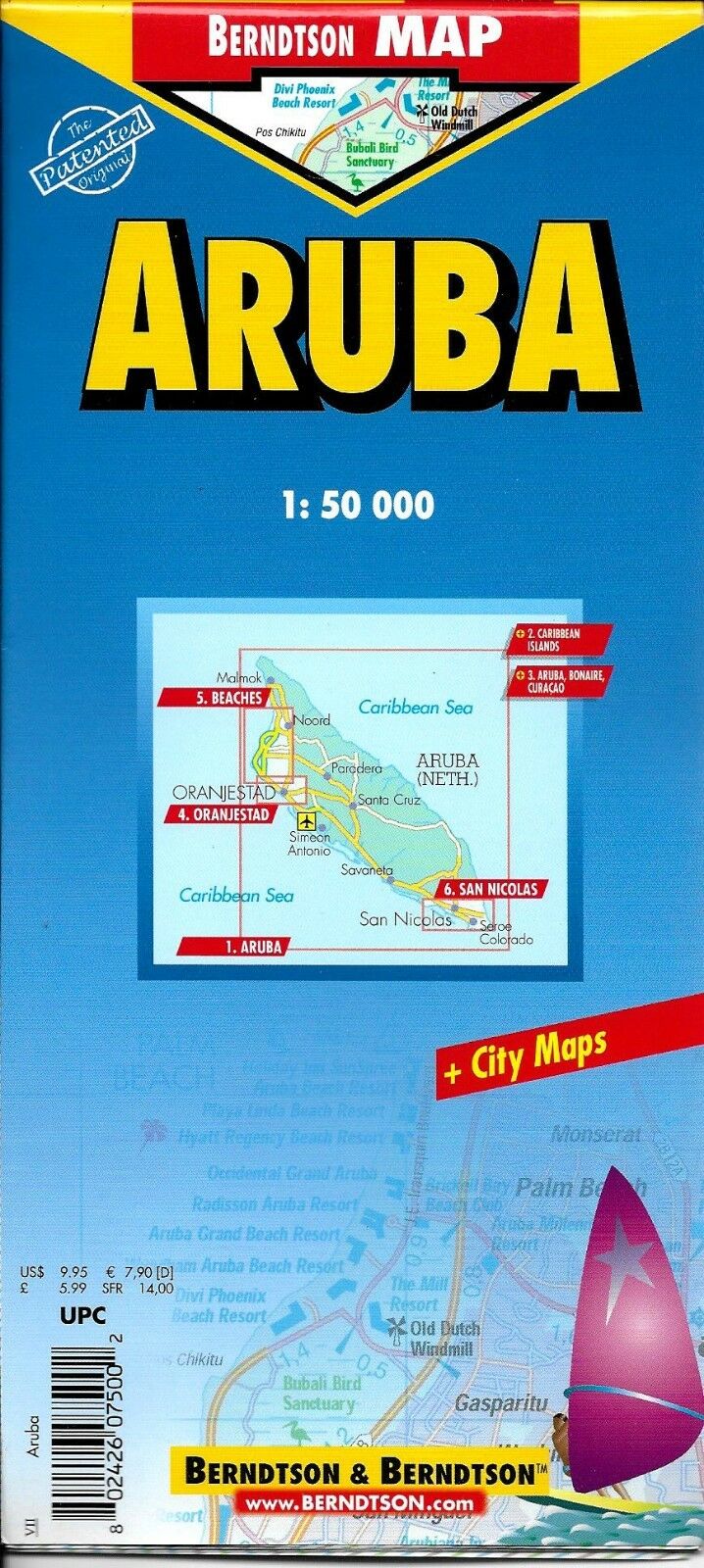
Map of New Zealand, Laminated & Folded by Berndtson MapsFolded color road and travel map. Scale 1:1,300,000. Distinguishes roads ranging from expressways to secondary roads (paved/unpaved). Legend includes sights, museums, monuments, beaches, churches, caves, cable railways, ski areas, shipwrecks, yachting, international airports, airfields, hospitals, golf courses, bus stations, parking, youth hostels, car ferries, windsurfing, scuba diving, waterfalls, national parks, nature reserves, camping sites, viewpoints, hotels, markets. Includes inset map of Auckland (1:20,000), Wellington (1:20,000), Rotorua (1:15,000), Christchurch (1:20,000), Nelson (1:15,000), Queenstown (1:15,000) and Dunedin (1:15,000). Climate charts show the average daily temperatures, humidity, hours of sunshine and precipitation for each month. Extensive index.
Map is lightweight and printed on tear resistant laminated paper. Map measures approx. 18" x 25" when unfolded.
Copyright 2005, ISBN
9783897075665
Map is new, NOS.


